GIS Portal
Product Type: Web based GIS application Client: LGED, Bangladesh
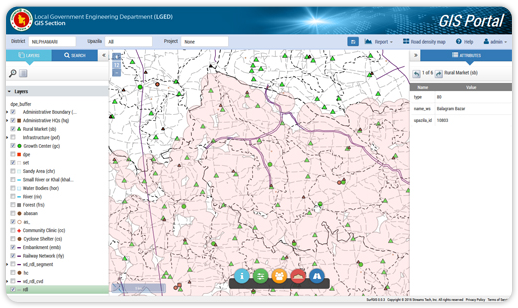
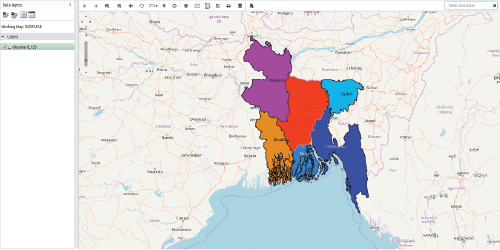
GIS Portal is a web application developed under the project- Development of GIS Based Web Mapping Application for Project Planning of LGED. It enables users to prepare customized GIS maps, particularly to generate LGED’s road network map. Besides it plays the role of a decision support tool by providing project specific map generation and reporting options in the planning and monitoring activities. These features include identification and reporting of duplicate roads in project planning, estimation and mapping of a particular road or school served areas, and preparation of countrywide road density (proportion of paved roads) map. This project had another scope, to set linkage between mapping shape files with the central GIS database of LGED which have been successfully accomplished.
WaterMap
Product Type: Web GIS application for Mobile Devices Client: Mass people, Water resource engineers
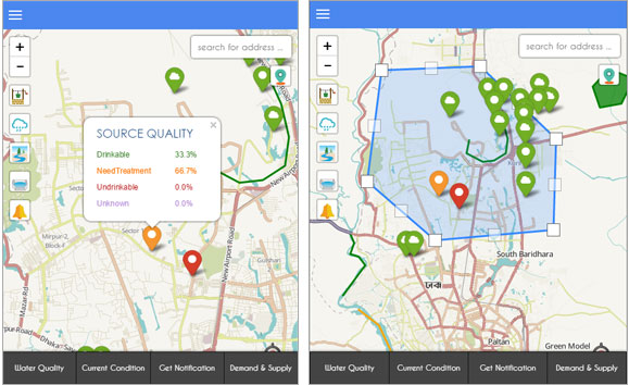
WaterMap has been developed with an aim to provide a sustainable solution for the worldwide potable water resource management by emphasizing on the crowd-sourcing. This app primarily connects general population to contribute information for identifying water sources, water use, potential hazard and evaluate the source capacity and demand-supply condition. This system servers water guide for newcomers like tourists. It also provides satellite based rainfall information, which the technical users use as a base and incorporates relevant water information and quality indicators for further analysis and visualization.
WaterMap helps create a better understanding global water condition through the water stress map created from the accumulated data as well as identify and analyze potential source hazards.The application helps track the quality of water and has the ability to notify water source condition to the concerned authority when necessary. It also understands and analyze changes in global potable water condition.The Water Map is a mobile- and web-app which provides sustainable solutions for managing potable water resources. It connects people as users and contributors to the information management at the same time through crowd-sourcing mechanism. With this app, users can identify nearby potable water sources, know quality indicators and their status, and view local water use information. It also provides a base platform for the technical users to incorporate relevant water management information. Water Map uses an open source GIS technology for information management, visualization and mapping. It also supports making spatial queries, tracking water quality issues, providing user feedback, and assessing alternative resources like rainwater.
GeoPortal
Product Type: Web GIS application for Mobile Devices Client: Bangladesh Forest Department
Bangladesh Forest Department (BFD) on a regular interval collects a wide range and big volume of geospatial data related to land cover and forestry to conserve of forest, environment and biodiversity which are stored in several different websites and difficult to access. Streams Tech has been developing an integrated web-based land cover monitoring tool- to consolidate all forest related data into one platform; and allowing inter-organizations to store and access data collectively.
Bangladesh Forest Information System (BFIS) is a web-based platform for integrating all forest related data. The platform is divided into multiple modules, each module is a separate application where different branches of BFD stores information. Streams Tech has developed a homepage for BFIS, from where BFD can access these modules and the respective information. One such module is GeoPortal, which Streams Tech has taken over for further development, ensuring that all of GeoPortal functionalities are operational and is accessible through the BFIS homepage.
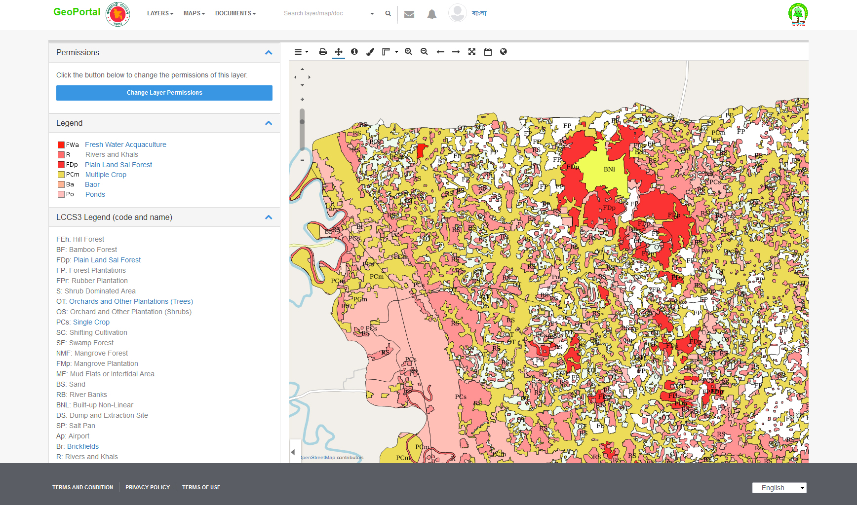
GeoPortal is a geospatial web portal which stores large volume of forest related geo-spatial to carry out different analysis efficiently for the Land Cover Classification System. Since the development stage, GeoPortal had various issues restricting its usage and functionalities i.e. errors in uploading large file, editing layers. For which Streams Tech developed a customized ArcGIS plugin to seamlessly upload large data files and fetches large data directly from geodatabase into GeoPortal for analysis.
- Centralized information platform
- Customized ArcGIS plugin for large data upload facility
- Opensource customized MapLoom
NSDI
Product Type: Web GIS application for Mobile Devices Client: LGED
The National Spatial Data Infrastructure (NSDI) is an information management initiative taken by the Government of Bangladesh in order to develop a comprehensive web GIS platform for managing and monitoring geospatial data of the country. The JICA funded NSDI project is executed by the Survey of Bangladesh (SOB) in association with other governmental agencies. The integrated database contains a server system that distributes geospatial data of different stakeholders with digital base maps, and a web GIS portal to provide a safe and secured access to the NSDI server system. Streams Tech has been supporting the JICA with implementation of the NSDI-PS for Bangladesh and the NSDI web portal. The system consists of a server system which distributes geospatial data along with digital base maps and a web portal site to provide secured access to the server system for NSDI. Through role-based access all members can access and utilize all information in the database in a secured way for various kinds of public activities.
BMS
Product Type: Web based GIS application Client: LGED, Bangladesh
Road culverts and bridges are the integral part of the road network system which are managed by the Local Government Engineering Department (LGED) of Bangladesh, there is a critical need to develop a comprehensive web-based bridge management system similar to that of the road and structure data management system.
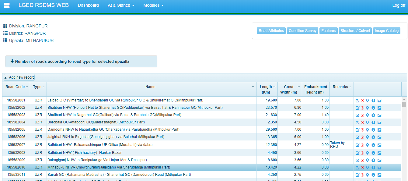
Streams Tech supported Maks, Inc. in developing a web-based Bridge Management System (BMS) for the LGED of Bangladesh. The objective of this project was to efficiently identify, prioritize and manage bridge maintenance needs. BMS is designed to read information directly from the Road and Structure Database Management System (RSDMS) of LGED, and to store and display necessary structural information of LGED managed bridges located in the country.
In addition, it has been integrated with the current GIS Portal of LGED to facilitate data visualization and perform spatial query on a GIS map. The carefully crafted algorithm in BMS designed to prioritize and rank bridges requiring repair work based on the bridge inspection data. The application also bundles different maintenance schemes under one project umbrella to increase efficiency of the project. This comprehensive decision support tool allows for efficient utilization of limited resources and cost savings.
It assists LGED personnel to manage infrastructure related information and helps project directors make informed decision on managing their bridge maintenance works and associated cost.
BFIS
Product Type: Web based GIS application Client: Bangladesh Forest Department
An integrated web-based land cover monitoring tool to consolidate all forest related data into one platform.
BFIS had been collecting a wide range of and big volume of geospatial data related to land cover and forestry to conserve of forest, environment and biodiversity which are stored in several different websites.
The issue was to access and analyze these data collectively by inter-organization users. And to upload and fetch large volume of data directly from GeoPortal.
With FAO’s initiative and sponsorship a project was taken to engage Streams Tech’s experts to provide a solution to the above issues.
- Bangladesh Forest Information Systems (BFIS) website creates easy access to several BFD application for inter-organizational use
- BFIS is a multi-module platform, where each module is a separate BFD application
- GeoPortal module processes large volume of forest related geo-spatial data.
- GeoPortal’s customized ArcGIS plug-in seamlessly uploads large data files and fetches large data directly from geo-database into GeoPortal for analysis.

Adopt a Hydrant
Product Type: Web based GIS application Client: LGED, Bangladesh
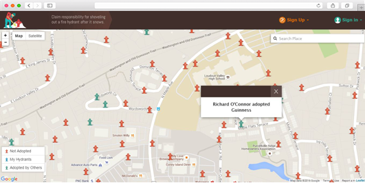
Adopt-a-Hydrant is a web-based application which allows citizens to take responsibility and clear fire hydrants in their neighborhoods after it snows. Cooperation of citizens minimizes delays in extinguishing fires and saving life and property. The simple Adopt-a-Hydrant interface allows citizens to view fire hydrants on Google Maps and adopt one or more of them either online or by contacting the administrator. The administrator of the program has full control over the application, including complete access to the volunteer database. Adopt-a-Hydrant provides an all-inclusive package that hosts client’s website, mapping data and user information. No third party software or subscription is required.
