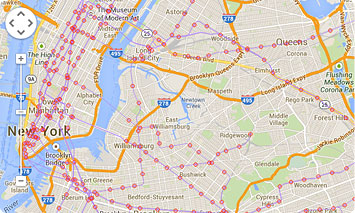
Streams Tech, Inc. designs and develops geographic information system software for desktop, web and mobile platforms to help our clients increase productivity and automate complex tasks. We also develop customized ArcGIS® extensions and applications utilizing Google Maps. ArcGIS® extensions allow users to store and access data in powerful geodatabases and utilize a vast collection of native functions and features of ArcGIS®. Streams Tech, Inc.’s professional staff use industry standard tools and programming languages such as python, C++, C#, .NET, Java to develop robust GIS applications that range from user friendly and interactive delineation tool to full blown models. The applications may fetch data from external sources including websites, prepare data for mapping and visualization, perform statistical analysis and plot results. We also have the capabilities to read and write data in different GIS formats and develop standalone GIS software. Our database experts ensure security, scalability, reliability and data integrity in designing and implementing geodatabases. Streams Tech, Inc. provides data creation services to utility companies and other businesses. Streams Tech, Inc. staff can accurately and efficiently capture and convert data from hardcopy records and maps, scanned images and PDF files, other digital formats and computer-aided design (CAD) files to ESRI’s geodatabase or other spatial data formats. Quality assurance and quality control are performed on all data to meet specifications and metadata are prepared in compliance with Federal Geographic Data Committee (FGDC) standards. We also provide cost-effective staff augmentation services to support data conversion needs.

